
OpenStop
Answer simple questions to map how accessible public transport stops are
Made by OPENER-next · free and open source
This comes straight from OpenStop’s own GitHub page, and it’s free. Need help installing?
What it looks like
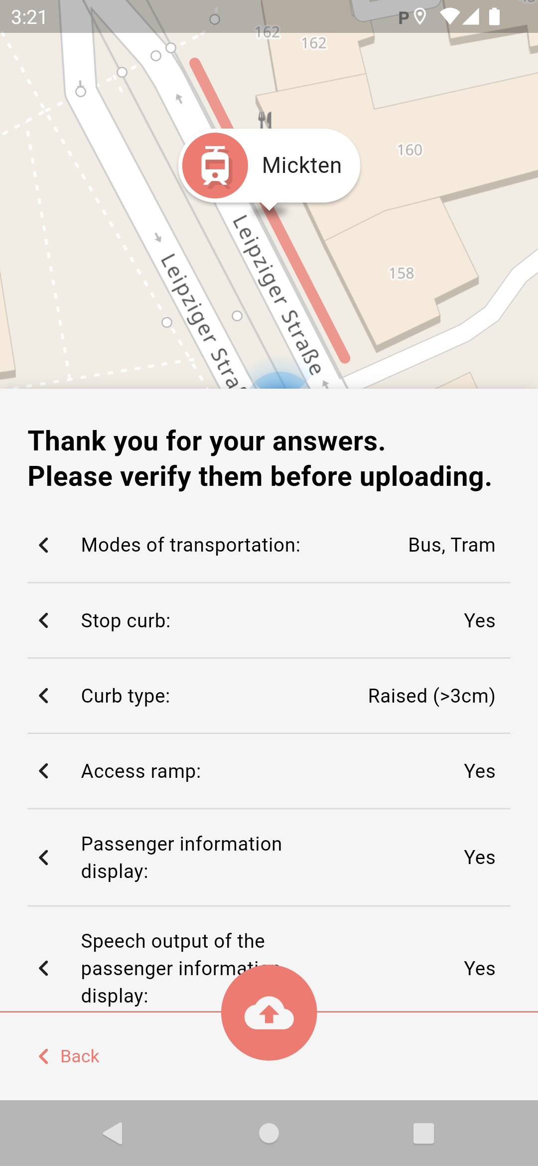
About this app
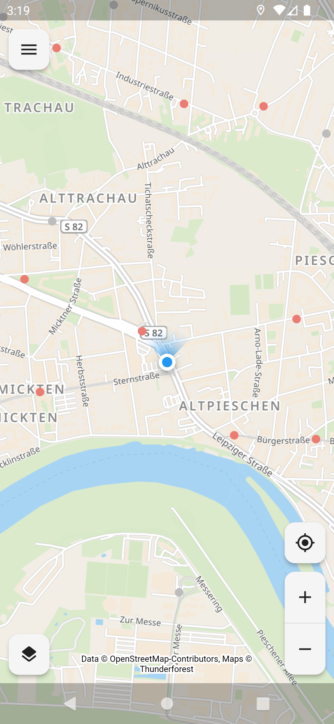
OpenStop lets you help map how easy it is to use public transport stops, by answering short questions about the stop you are standing at. Your answers go to OpenStreetMap, the free and open map of the world. The data is meant to help with better route planning, especially for people with impairments, and to show which stops need to be improved.
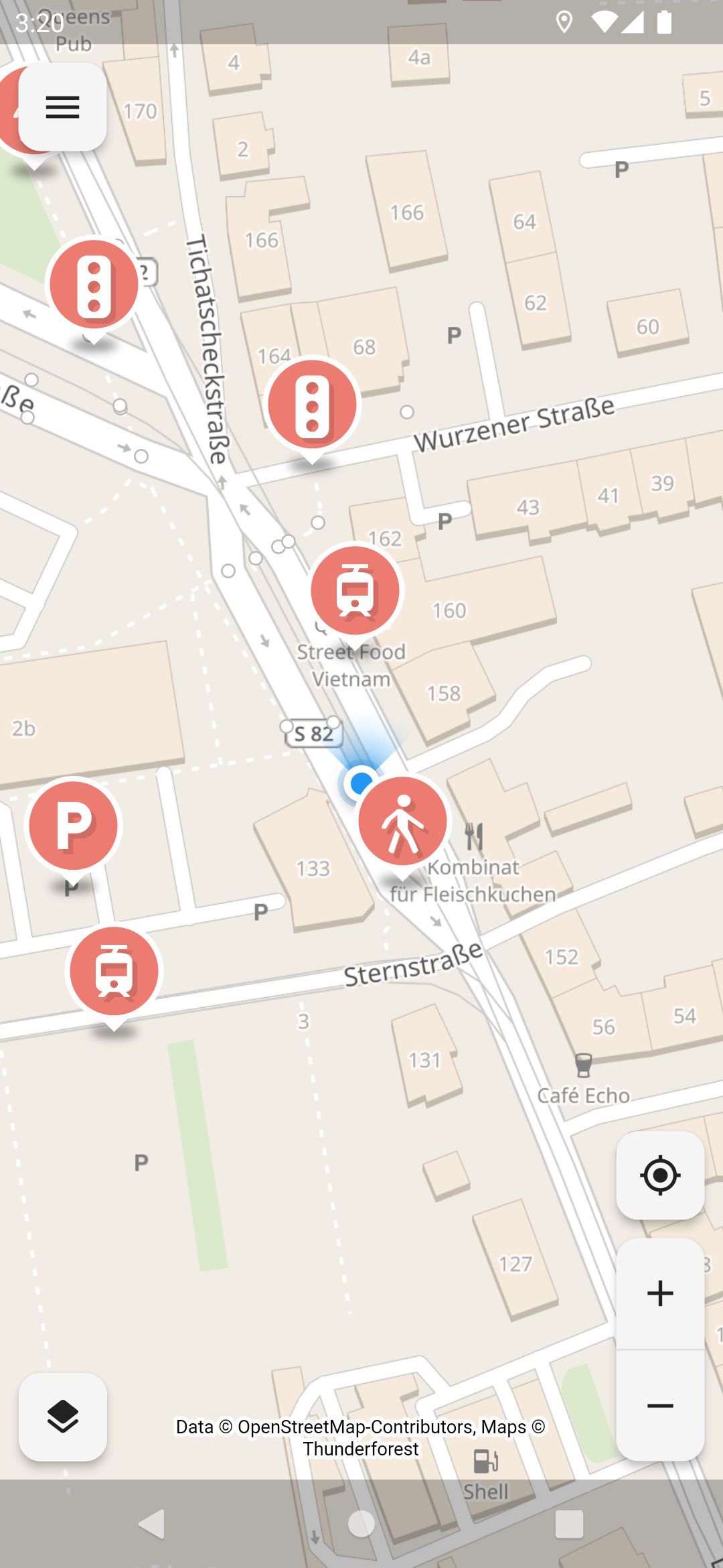
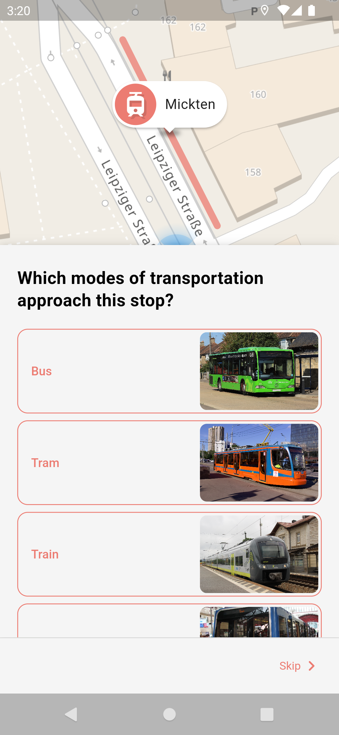
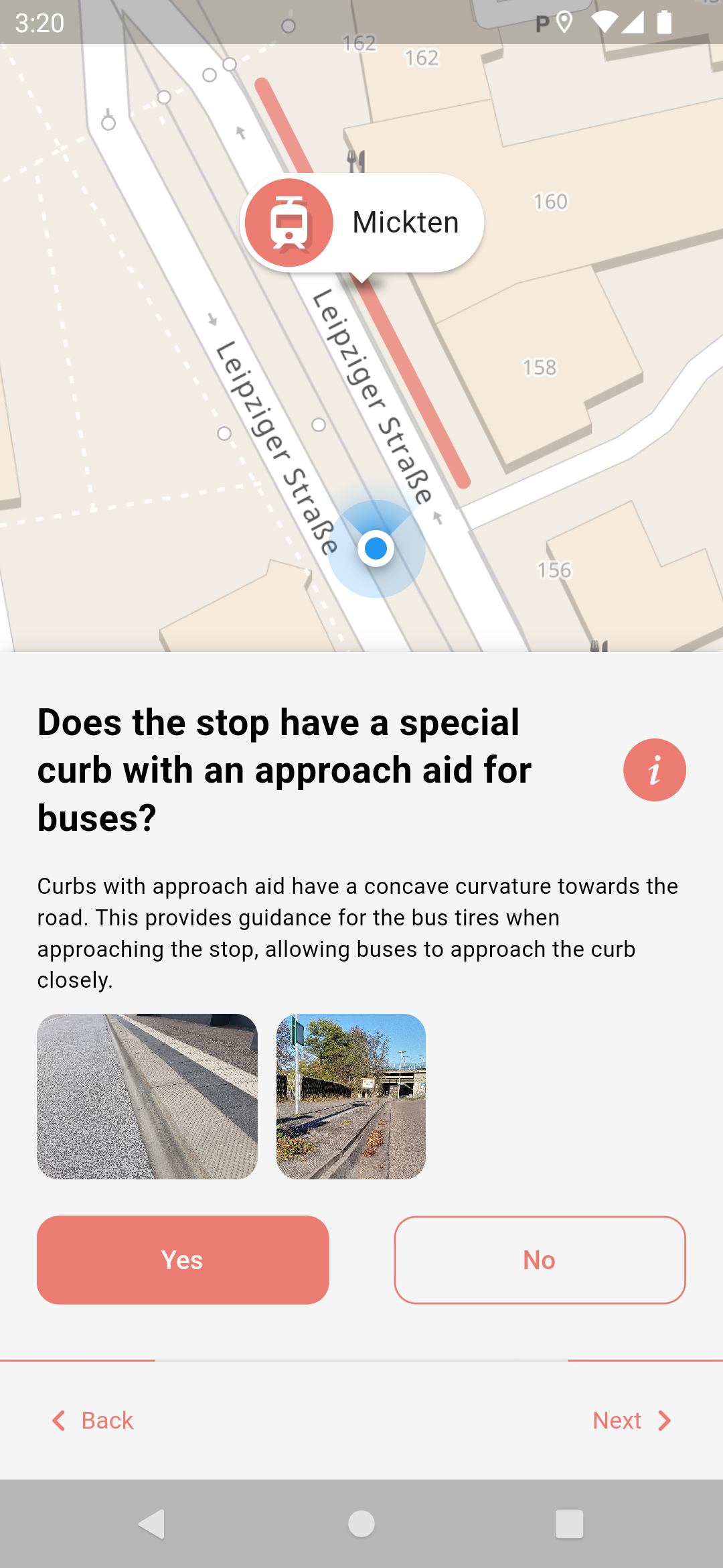
Open the app near a stop and it loads the area from OpenStreetMap and shows what is mapped there: platforms, footpaths, steps, parking and toilets around the stop. Tap one and the app asks plain questions, such as whether there are seats, whether the waiting area is covered, how high the kerb is, how wide the platform is, or whether a timetable display can read its information aloud. You never type map tags yourself. The app turns your answers into tags, only ever adds information and never deletes anything, and shows you a summary to check before you upload. It works with screen readers and has light and dark themes, with high-contrast versions of both.
You need a free OpenStreetMap account to upload, and you sign in on the OpenStreetMap website, so the app never sees your password. Everything you upload becomes public on OpenStreetMap. It is meant for use on the spot: it asks for your location to show where you are, and it needs the internet to load stops and map tiles from Thunderforest. It is available in many languages. It is developed in the OPENER next project, funded by the German government, and the idea comes from Chemnitz University of Technology.
From the app’s home page
- See the codeHow it’s made, every line is public
- WebsiteThe app’s own home page
- Questions & commentsTalk with the people who make it
- Report a problemTell the makers something is broken
- All versionsOlder downloads and what changed
- LicenseThe rules for using and sharing it
More like this
 OSMfocus Reborn
Point at any building or road to see its OpenStreetMap tags
OSMfocus Reborn
Point at any building or road to see its OpenStreetMap tags
 StreetComplete
Improve the world map by answering easy questions
StreetComplete
Improve the world map by answering easy questions
 Every Door
Add shops and places to the open world map
Every Door
Add shops and places to the open world map
 OSMTracker
Record a GPS track with notes, photos and voice memos
OSMTracker
Record a GPS track with notes, photos and voice memos
 GeoShare
Open any map link in the map app you actually want
GeoShare
Open any map link in the map app you actually want
 KartaView
Capture street-level photos to help improve open maps
KartaView
Capture street-level photos to help improve open maps