
Beans
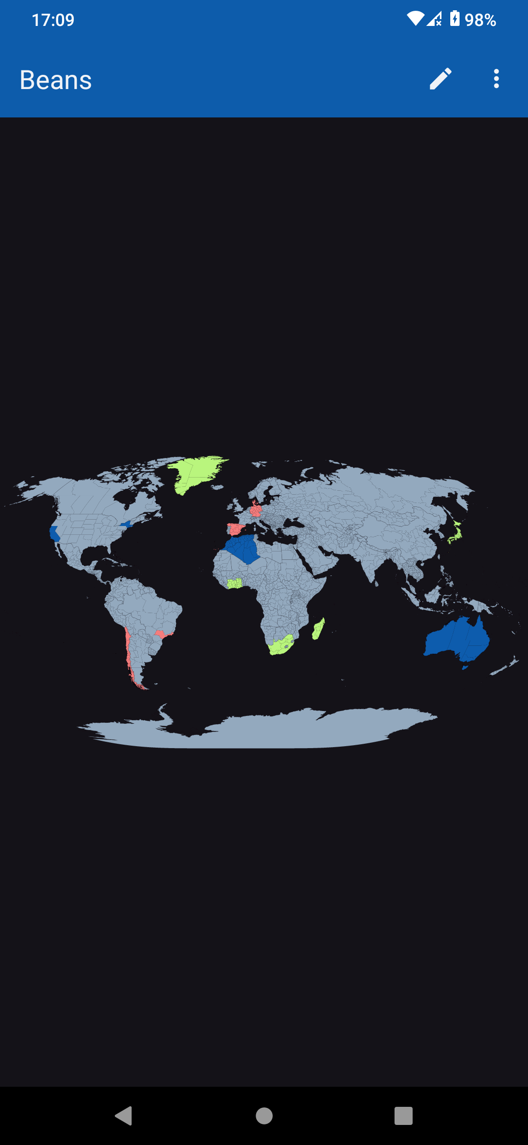
Colour in the countries you have visited on a map of the world
Made by helcel-net · free and open source
This comes straight from Beans’s own GitHub page, and it’s free. Need help installing?
What it looks like
About this app
Beans is a scratch map of the world. Tap a country to colour it in and mark that you have been there, and watch the map fill up as you travel. It asks for no permissions and has no internet access, so the places you mark stay on your phone.
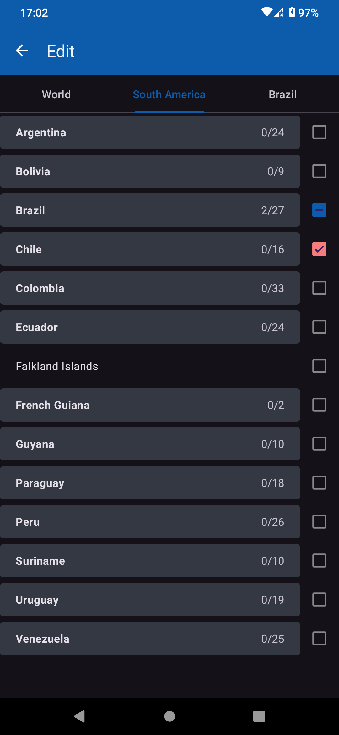
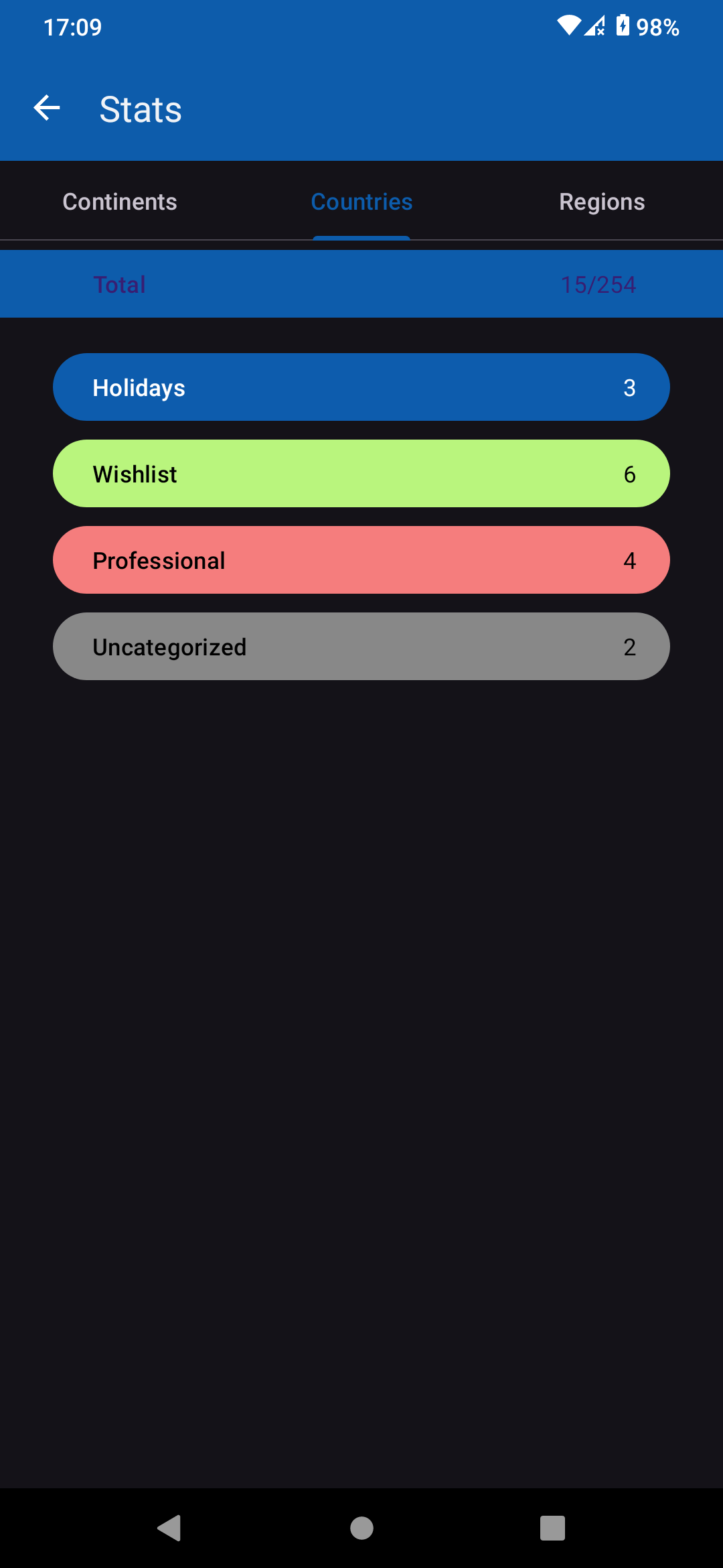
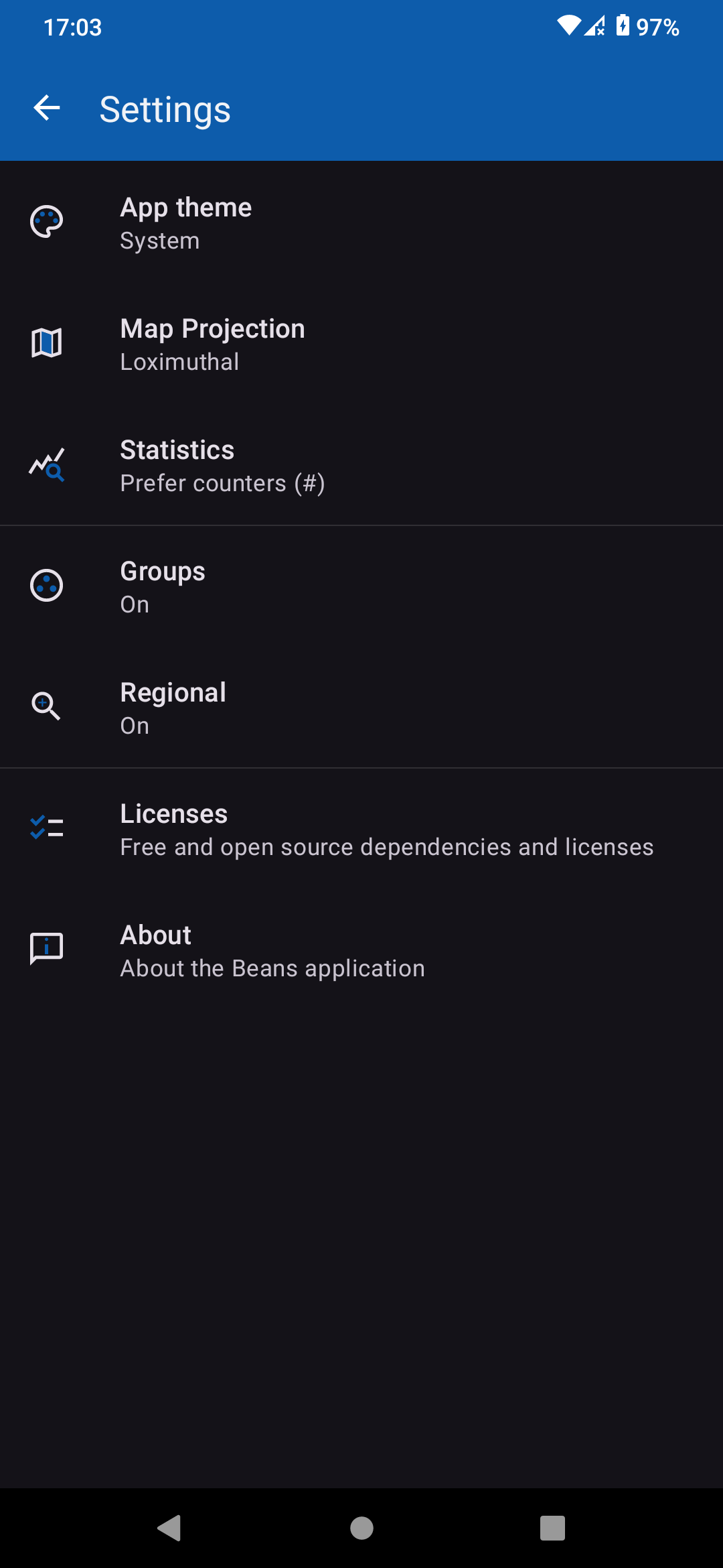
Switch on regional mode to colour states and provinces as well as whole countries. You can keep it simple with a single colour, or turn on groups and make your own, each with its own name and colour, for example one for places you have lived and another for places you want to see. Pinch to zoom right in on small places. A statistics screen counts the places in each group, as numbers or percentages, and the map can be drawn in three projections: Mercator, Azimuthal Equidistant and Loximuthal. There are light and dark themes, and you can export your map to a file as a backup and import it again on another phone.
The app is in English only and needs Android 9 or newer. The developers say the statistics are still a work in progress. The country and state outlines come from the GADM dataset, which is free for non-commercial use but is not under an open licence, although the app's own code is.
From the app’s home page
- See the codeHow it’s made, every line is public
- Questions & commentsTalk with the people who make it
- Report a problemTell the makers something is broken
- All versionsOlder downloads and what changed
- LicenseThe rules for using and sharing it
More like this
 Metrodroid
Read your travel card with your phone
Metrodroid
Read your travel card with your phone
 StreetComplete
Improve the world map by answering easy questions
StreetComplete
Improve the world map by answering easy questions
 Trail Sense
Turns your phone's sensors into survival tools
Trail Sense
Turns your phone's sensors into survival tools
 Meshtastic
Text your friends with no phone signal at all
Meshtastic
Text your friends with no phone signal at all
 Transportr
Plan bus and train trips without ads or tracking
Transportr
Plan bus and train trips without ads or tracking
 Compass
A simple, beautiful compass
Compass
A simple, beautiful compass